After we ate, we did our first surveying on the property. Jim needs lots of elevation references to be able to figure out exactly where driveways and structures will be located as well as what kinds of changes he needs to make in the slope of the driveway that's already there.
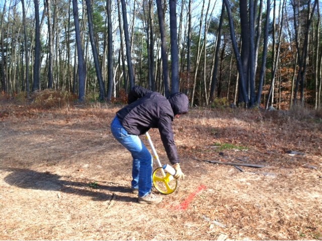
Jim got us started by having me use our new measuring wheel to mark off 100 feet lines on the driveway until the area where it turns to go downhill.

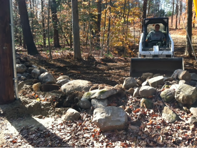
Then Jim set up his optical level to get reference points.

I was the trusty stick holder. After taking lots of different measurements around the carriage house and the new driveway going back to it as well as the driveway already in place, we went down to the street and started up the driveway doing the same thing. This time we marked off 75' references.

Obviously since the land is a giant hill or mini-mountain, the grades changed really quickly. The pole will only measure a max of about 9'. Many times on the driveway, we could only go about 50' before we would max out the measuring capacity. So Jim had to keep repositioning the scope over and over to try and get measurements.
Now comes the hard part - he'll take all those numbers and start plotting them out so we have our own elevation map to work from. Obviously this was just our first time out - they'll be lots more surveying in our future!
No comments:
Post a Comment